
Wikimedia Workshop: Visualizing Data Resources
Tags: CKCC, Databases, IMPAcT, ImpulsBauhaus, Mapping the Republic of Letters, Networks, Prosopography, The French Book Trade in Enlightenment Europe, Union Catalogue, Union Catalogue News, Visualization, Wikipedia
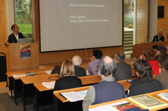
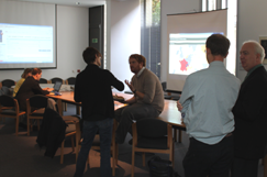
While Anna Marie was weaving animal magic at the Royal Society, our Technical Director Neil Jefferies and I were headed to the Forzhungszentrum Gotha of the University of Erfurt for an invited workshop on ‘Visualizing Data Resources: The Potential of a Wikimedia Platform for the Digital Humanities’ (27–28 April 2012). Expertly organised by Martin Mulsow, Olaf Simons, and Kristina Petri, and generously funded by Wikimedia Deutschland – the largest and most active of the national chapters – the workshop provided an inspiring forum for a wide range of international participants and projects to share approaches and converge on the question of Wikipedia, the digital humanities, visualizations, and many points in between (see the full description [pdf]).
One set of presentations showcased the Wikimedia community’s own plans for data capture and computational seeing, many of which have great potential for the digital humanities; not always a straightforward relationship, as Olaf discussed in his opening address. These include Wikidata (a collaboratively curated, centralised database of entities designed to support the 280+ language editions of Wikipedia, as well as third-party initiatives, currently under development), and Semantic Mediawiki, an open source extension to Wikipedia capable of (re)organizing the site’s existing content into highly configurable, collectively editable semantic databases. The accumulation and management of structured, actionable (wiki)data within these streamlined platforms will facilitate the creation and deployment of information visualizations across the site’s many interfaces, and by its millions of users in the context of exports and mash-ups.

Scott Weingart (Indiana/CKCC), Neil (CofK/Oxford), James (CofK/Oxford), and Nicole Coleman (MRofL/Stanford).

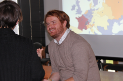
Andreas Wolter (ImpulsBauhaus), Jens Weber (ImpulsBauhaus), and Judith Pfeiffer (IMPAcT/Oxford).
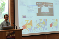
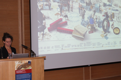
A second cluster of talks focused on the data capture, curation, and visualization techniques and applications being pursued and developed by humanistic projects based in archives, libraries, and universities worldwide. As well as presentations from ourselves and good friends Mapping the Republic of Letters, The French Book Trade in Enlightenment Europe, CKCC, IMPAcT, and Scott Weingart, we heard about (inter alia) linked data and gamification at the University of Colorado; an adaptive, interactive, dynamic historical atlas (AIDA) being created at the University of Erfurt; and the wonderful ImpulsBauhaus initiative based at the the Bauhaus-Universität Weimar. Designed to collect information on and represent the global social networks of the Bauhaus, and led by the designer-developer team Jens Weber and Andreas Wolter in 2009, the project harvested extensive biographical and prospopgraphical data on the movement’s participants and affiliates within a specially designed platform which served as the basis for dynamic network infographics and an interactive three-dimensional table, presented most memorably within an illuminated cube. A video of this extraordinary project opens the post.


 Join
Join 